The Nansa Basin: From the Streams of Polaciones to Tina Menor
The Nansa crosses western Cantabria from the mountains of Polaciones to the Tina Menor estuary. Its headwaters are formed by several streams rather than a single spring. This guide presents the main river separately from tributaries whose confluences are described in hydrological sources, and from watercourses assigned to the basin by mapping whose junctions still need verification.
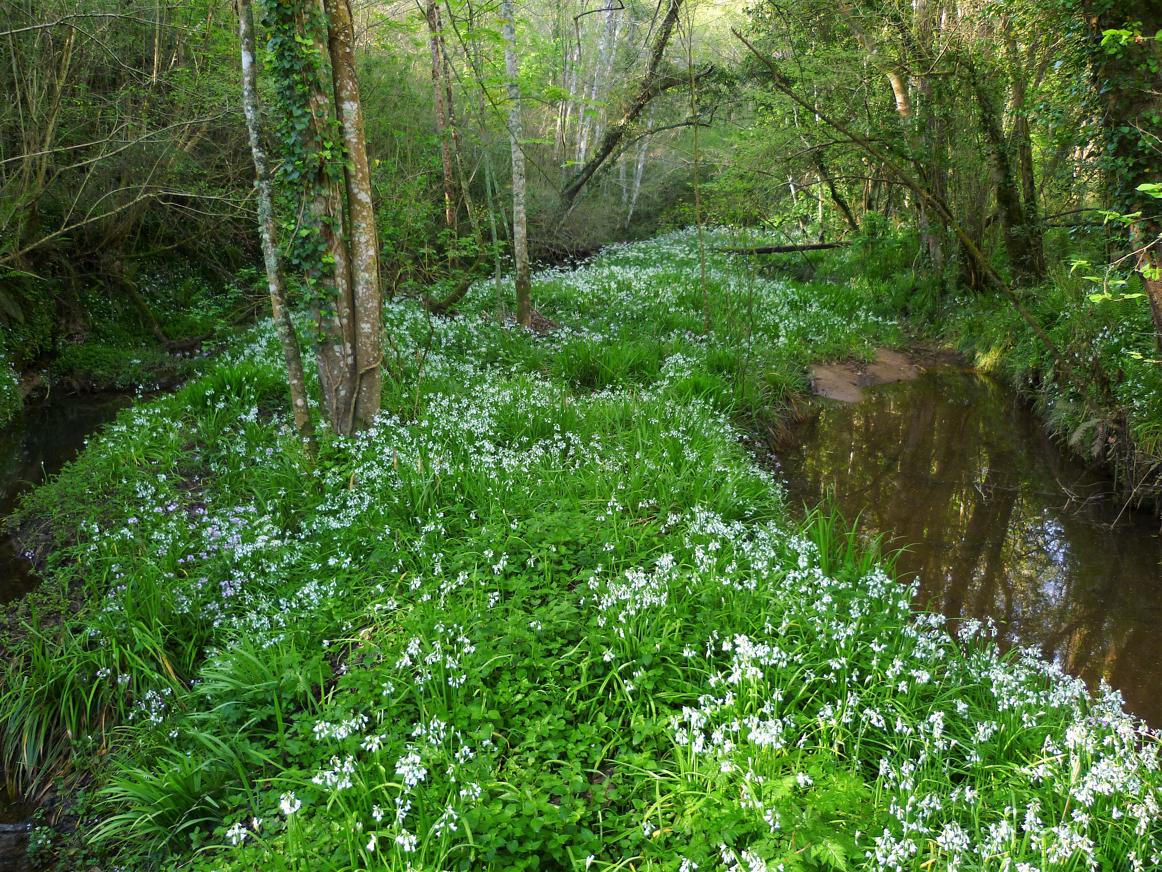
The Nansa and its path. Photograph by AnaisGoepner, 14 April 2013, CC BY-SA 4.0 licence (licence). The source does not specify the exact location along the river. Wikimedia Commons file.
Main course
- Nansa River: the Cantabrian Hydrographic Confederation identifies the Collarín, Espinal and Jospal streams in its headwaters. The river continues through the Hoz de Bejo and the area around the La Cohilla, La Lastra and Palombera reservoirs, descends through Tudanca and Rionansa, and flows into Tina Menor in Val de San Vicente.
Tributaries documented in the hydrographic record
- Quivierda River ES: formed near Carmona by the mapped confluence of the Hoyamala and Collada streams; it reaches the Nansa at Puentenansa.
- Vendul River: left-bank tributary of the Nansa; it rises north of Peña Sagra, receives the Sebrando near San Sebastián de Garabandal and joins the Nansa at Cosío.
- Lamasón or Tanea River ES: a single left-bank tributary of the Nansa, called by both names in official documents. Local place-names favour Tanea for the valley course and explain the use of Lamasón downstream; they are not counted as two rivers.
- Guariza de Polaciones River: descends from Peñasagra and Brañas, receives the Berdujal stream and joins the Nansa at Pejanda. Do not confuse it with the homonymous Guariza River in the Saja–Besaya system.
Other rivers and watercourses assigned to the basin
The initial connectivity review assigns other names to the Nansa, including the Suspino and Espina rivers. Herrerías’ municipal plan describes the Espina as a tributary of the Berrellín stream, while local place-names in Bielva use Berrellín for the Espina’s final reach. The network drains into the Nansa, but the sources do not agree on how the two names are divided. Guides: Espina River, which documents both versions, and Suspino River ES, described in the municipal plan as a watercourse formed by several headwater flows and a Nansa tributary. The Guariza de Polaciones already has its own guide and is included among the documented tributaries.
The Gandarilla and Escudo rivers are treated separately as western coastal watercourses; they are not included here as Nansa tributaries. See the provisional index of the western coastal basins. The list of tributaries and smaller streams in those basins is still under review.
Visiting and photography
The Nansa guide brings together the main places and precautions: the protected headwaters of Polaciones, Hoz de Bejo, the valleys of Tudanca and Rionansa, the Cades area and Tina Menor estuary. Reservoirs and hydroelectric facilities should not be mistaken for public visitor areas. Only documented roads, viewpoints, trails and visitor sites are presented as places to stop; check local conditions before planning a trip.
The photograph shows a stretch of the Natura 2000 river area and has no more precise location. The description remains deliberately cautious so it is not attributed to a particular village.
Sources for the basin structure
- Cantabrian Hydrographic Confederation, Nansa River information sheet; its figures are treated cautiously because it is an older sheet.
- Cantabrian Hydrographic Confederation, 2022–2027 River Basin Management Plan, water resources annex: headwater and drainage network information.
- Cantabria Government mapping inventory and the project’s preliminary internal river-basin attribution matrix. The latter is a research aid, not a source for asserting tributary relationships.
- Wikimedia Commons, photograph of the Nansa in a stretch of its Natura 2000 area, AnaisGoepner, CC BY-SA 4.0; local file and credit are documented on the guide.
Editorial status: guides to rivers listed in the mapping inventory are written and linked from the basin indexes. The 117-river inventory is not an exhaustive catalogue of every stream or brook. Discrepancies in names and confluences that the available sources cannot resolve remain open in this basin.