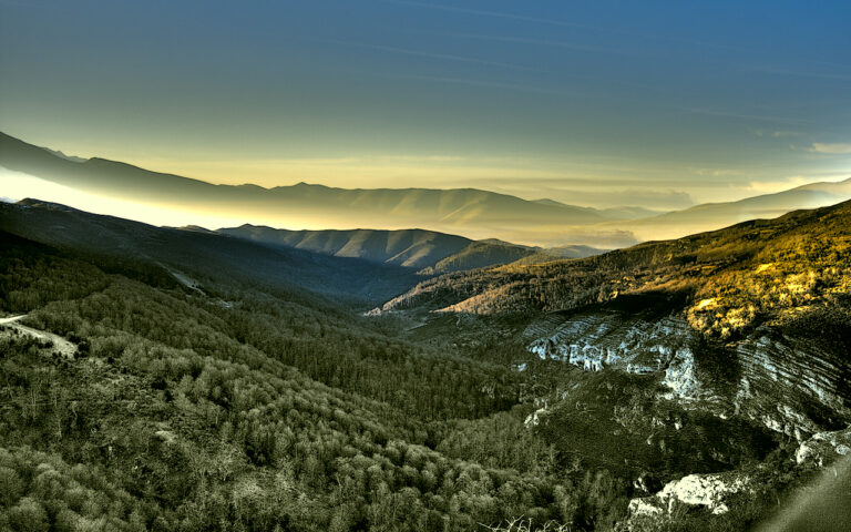
The Espina River: from Monte Lleno to the Nansa
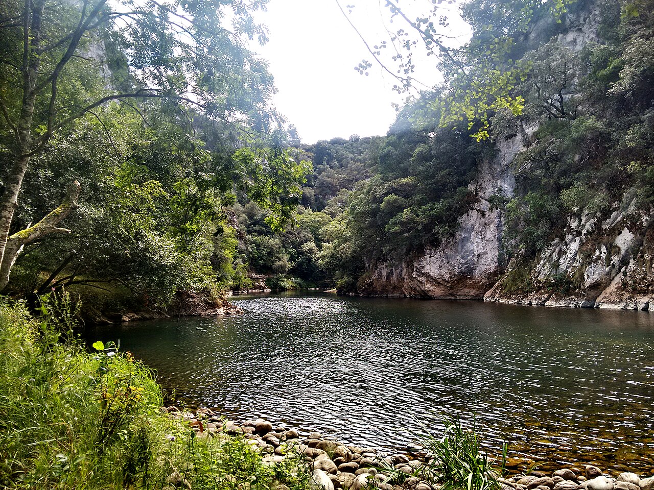
A reach of the Nansa, the receiving watercourse for the Espina system according to municipal documents. The photograph does not show the Espina River, and its precise location on the Nansa has not been established. Photo by José Ángel García, 16 August 2015, Wikimedia Commons, licensed under CC BY-SA 4.0. It is used only as contextual imagery for the basin; retain the credit, link to the licence and note any later modifications.
Source area and headwaters
The Environmental Sustainability Report for the Herrerías General Urban Plan describes the headwaters of the Espina River in the mountainous area around Alto de la Rehoya and Peña del Escajal, at the north-eastern edge of the municipality. The landscape study in the same report links them to the La Peña del Escajal public forest and places the start of the Espina network to the south. Bielva’s local place-name study gives more specific references to Monte Lleno and the Pruneda mountain pasture, described as the river’s source on the north face of the Armoya ridge. The sources provide neither a measured spring nor coordinates for one point, so the origin is described as a hillside headwater area.
The urban plan estimates 3.1 km of river within Herrerías and a fall of 290 m. This is a municipal length, not the total length of the headwater network, and it does not necessarily match the regional mapped geometry, which shows an axis of about 2.9 km under the name Río de la Espina.
Course and names in the lower reaches
The watercourse descends from the slopes around Bielva, collecting several small streams before entering a narrow valley between local hills. The local place-name notebook gives different names to successive reaches: La Tejera as far as the confluence with the Gato River; Ruspina until it receives the Negru River; Vado Ancho to the Ruceda hollow; and Berrellín from there to the Nansa.
The municipal plan describes the network differently. It identifies Berrellín Stream as a watercourse that rises in Valdáliga and flows into the Nansa near Bielva, receiving water from the Espina River. Under that classification, the Espina is a tributary of Berrellín; in local naming, Berrellín is the name of the Espina’s final reach. Both sources agree on the onward connection to the Nansa, but differ in how they divide and name the watercourses. This guide makes that difference explicit rather than presenting one interpretation as definitive.
Known tributaries
- Gato River: the urban plan includes it among the watercourses contributing to the Espina system. Local place names put its source below a crag at the foot of Las Canales and its confluence with the main channel where it changes from La Tejera to Ruspina.
- Riega de la Escampada: the urban plan identifies this small stream as an Espina tributary and places its headwaters on the southern slope of Alto de la Rehoya. The municipal document gives it a 1.2 km course and a 195 m descent.
- Riega de Las Tasigorias: Bielva’s place-name study says it rises below this slope and flows into the Espina. It is not listed under the same name in the urban plan; it is not assumed to be the same stream as the Riega de la Escampada.
- Negru River: the place-name notebook describes it descending from the hollow between Lavanzón and Monte Lleno and joining the Espina at Puente Cargar. The urban plan does not include it in the tributary list in its hydrology section.
The Nansa is the final receiving watercourse. The urban plan lists Berrellín Stream as a right-bank tributary; the direct relationship between the Espina and Berrellín depends on which naming system is followed. Regional and municipal mapping support its connection with the Nansa basin but do not, by themselves, resolve this place-name discrepancy.
What to visit beside the river
- Bielva and the Peña del Escajal headwaters: the village is a useful point of reference for the upper drainage network. Municipal documents place the headwaters in wooded slopes, forest plantations and terrain with moderate to steep gradients. No public, signposted route to the source has been located. Do not enter forestry tracks or cross private land without permission.
- Puente Cargar: local place names identify this area as the meeting point of the Espina and Negru rivers. It helps explain the local network, but it has not been confirmed that the bridge or its surroundings are set up as a visitor stop or have safe public pedestrian access.
- Ruceda and the reach called Berrellín: local vocabulary places the name change here, before the watercourse reaches the Nansa. Municipal mapping and place names describe small streams and slopes, not a prepared riverside walk. Treat this as a geographical reference, not a guaranteed visitor route.
- Puente El Arrudo and the Nansa valley: these provide an opportunity to see the receiving river and the landscape of Herrerías. The Nansa riverside path follows the main river elsewhere; it is not presented as a trail along the Espina or as verified access to its confluences.
No approved walking trail or bathing area beside the Espina has been verified. Its banks may cross woodland, steep ground and parcels without public access. Check local signs and conditions, and do not follow streams or closed tracks in an attempt to reach a confluence.
Sources
- Herrerías Town Council, Environmental Sustainability Report for the General Urban Plan, September 2013: headwaters, relationships among the Espina, Gato, Riega de la Escampada and Berrellín, connection to the Nansa, municipal length and elevation drop.
- Alberto González Rodríguez, Cantabria Place-Name Notebooks: Herrerías–Bielva, PDF: names of La Tejera, Ruspina, Vado Ancho and Berrellín reaches; headwaters below Monte Lleno; Tasigorias and Gato streams; Negru confluence at Puente Cargar. This is a local toponymy source, not an official hydrographic classification.
- Government of Cantabria, General Hydrographic Network, layer 294: the name “Río de la Espina” and its mapped course, whose length is approximate.
- Cantabrian Hydrographic Confederation, Nansa River factsheet: context for the main watercourse in the basin.
- Wikimedia Commons, Nansa River: contextual image file, author, date and CC BY-SA 4.0 licence.