The Argonza or Argoza River: from Pozo de la Arbencia to Correpoco
Headwaters and source
The official route from Bárcena Mayor to Pozo de la Arbencia places the formation of the Argoza at the confluence of the Hormigas and Fuentes rivers, within Saja-Besaya Natural Park. This meeting of waters is the best-documented point from which to describe the river’s origin. The route does not identify a single spring or a precise elevation for either headwater, so this guide does not attribute the source to a particular spring.
The headwaters lie in a mountain and woodland landscape. The “Argonza River and Queriendo River” Natural River Reserve protects their upper reaches to the point where they meet. It describes gorges shaped in sandstone, marl and limestone, a rocky bed, waterfalls and large boulders. The reserve covers 18.43 km jointly; that figure applies to the protected reaches of both rivers, not to the total length of the Argonza alone.
Course and mouth
From Pozo de la Arbencia, the Argoza descends through the valley alongside the PR-S 113 route towards Bárcena Mayor. About one kilometre from the village, it receives the Queriendo River near Llano Castrillo. It continues beside Bárcena Mayor and flows downstream until it joins the Saja at Correpoco. The Argonza thus links the forested headwaters with two recognisable places in the valley: the historic settlement of Bárcena Mayor and the confluence at Correpoco.
The sources consulted do not give a reliable total length for the Argonza from its headwaters to the Saja. The 18.43 km figure published by the CHC describes the combined Argonza–Queriendo reserve, not the Argonza on its own. Nor should the 72 km that some official references give for the Saja system be attributed to the Argonza: that figure refers to the main river, not this tributary.
Tributaries and connection with the Saja
- Hormigas and Fuentes: they meet at Pozo de la Arbencia and form the Argoza. Strictly speaking, these are the streams that create its headwaters.
- Queriendo ES: it joins the Argoza at Llano Castrillo, downstream from Bárcena Mayor according to the official route description.
- Saja: the Argonza flows into it at Correpoco. The Saja continues through Cabuérniga and the lower valleys before meeting the Besaya at Torrelavega.
The river reserve considers the Argonza and Queriendo together from their sources to their confluence. Detailed mapping may include smaller streams and local names that do not appear in the narrative sources reviewed; no tributary names are added without clear hydrological or map confirmation.
What to visit beside the river
- Pozo de la Arbencia and the meeting of Hormigas and Fuentes: the PR-S 113 route runs from Bárcena Mayor to the place where the Argoza begins. The official tourism guide describes an out-and-back mountain hike of about 20 km in total, of moderate difficulty due to its length. It is a substantial outing, not a short walk.
- Hormigas River waterfall: reached by a detour near the confluence. The ground is natural and may be slippery; assess river flow and trail conditions before approaching.
- Llano Castrillo: a recreational area near the point where the Argoza receives the Queriendo. Tourism information describes picnic tables, fountains, barbecues and a play area. As it lies inside the Natural Park and a river reserve, follow current restrictions and signs. Do not assume all facilities or activities are available throughout the year.
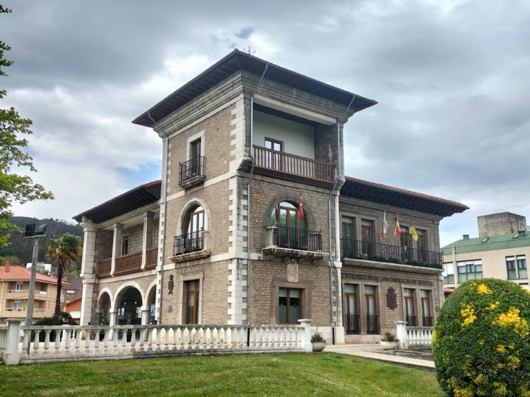
- Bárcena Mayor: its stone bridge crosses the Argoza and is one of the best-known corners of the historic village. Vehicle access to the village centre is restricted to residents; use the designated car park at the entrance.
- Correpoco: a place from which to locate the Argonza–Saja confluence and explore the lower valley. A continuous public riverside route between Correpoco and Bárcena Mayor has not been confirmed.
The river reserve protects a watercourse of high ecological value. Swimming is not promoted as an activity; the reserve factsheet does not identify bathing as a recreational use. Respect closures in the Natural Park, private property, hunting notices and possible floods. Check local information before starting the route.
Headwater tributary guide: Hormigas River ES, from Fuente del Arco to its confluence with the Fuentes at Pozo de la Arbencia.
Photograph
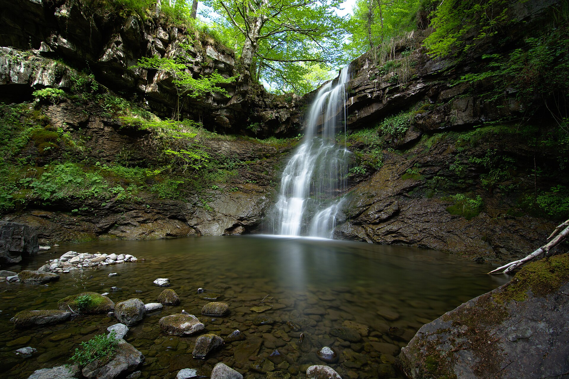
Waterfall on the Argoza River near Pozo de la Arbencia. Photo by María del Milagro Bolado Tirado, 14 May 2017, Wikimedia Commons, licensed under CC BY-SA 4.0. The locally optimised copy has been inspected and its content has not been changed; retain the author credit, source link and licence.
Sources
- Cantabrian Hydrographic Confederation, River Basin Management Plan 2022–2027, Appendix IV.6: Argonza and Queriendo Natural River Reserve: combined extent, municipalities, natural condition and features of the protected channel.
- Reserva del Saja / Esencia de Cantabria, Bárcena Mayor to Pozo de la Arbencia route: PR-S 113, formation of the Argoza by the Hormigas and Fuentes, confluence with the Queriendo, Llano Castrillo and route advice.
- Reserva del Saja / Esencia de Cantabria, Bárcena Mayor self-guided visit: bridge over the Argoza and access to the village.
- Ministry for the Ecological Transition, management project proposal for the Argonza and Queriendo Natural River Reserve: conservation context and use restrictions in the protected area.
- Government of Cantabria, General Hydrographic Network, layer 294: toponymic entry “Río Lodar o Argonza”.
- Wikimedia Commons, photograph of the Argoza River waterfall: author, date, coordinates and reuse licence.