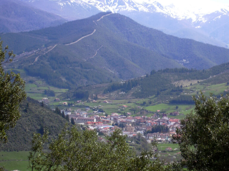
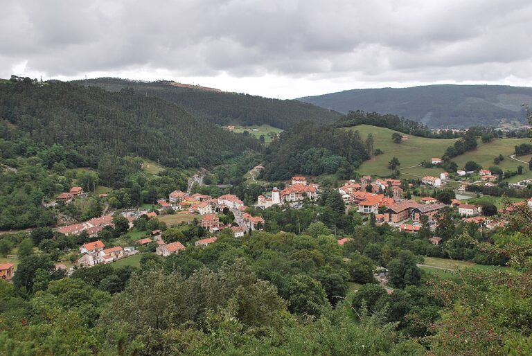
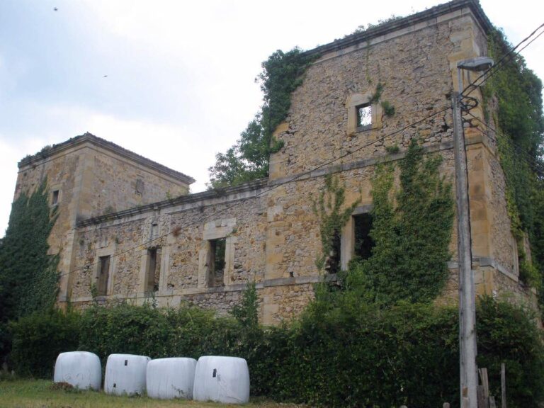
The Rubí River between Abionzo and the Pisueña
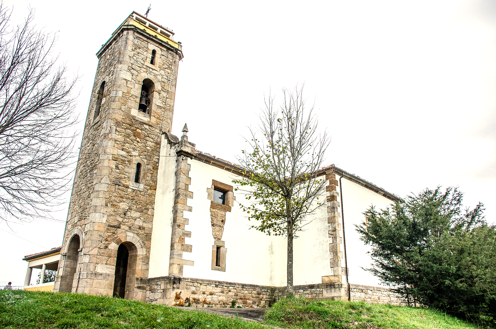
San Cristóbal de Abionzo provides a visual reference for the nearby settlement. The image does not show the river channel. Photo by MottaW, CC BY-SA 4.0; source and licence.
The Rubí River appears as a named watercourse in Cantabria’s regional hydrographic mapping, south of Abionzo in Villacarriedo. The Cantabrian Hydrographic Confederation documents work to restore the river’s longitudinal continuity in the village by removing disused obstacles. This confirms that the administration recognises a watercourse named Rubí there, rather than merely a path name.
Headwaters and course
The official geometry for feature 328 measures about 3.97 km in mapped length. This figure measures the line shown on the map, not a hydrological length surveyed on the ground. The mapped reach lies around Abionzo and belongs to the Pisueña–Pas system under the basin assignment used in this record. No primary source has been found identifying a spring or precise source point, or describing all its changes of direction in detail. Its headwaters therefore remain unresolved and no elevation is assigned.
The official drainage network geometrically connects the Rubí with the Rubionzo stream, and the CHC river basin plan lists the Rubionzo River within the Pisueña I water body. Local sources and a mountain route use “Rubí”, “Rubionzo” and “Rubionzo River” for the area around Abionzo and Llerana. Even so, mapped geometry can connect segments and labels without proving that they form one watercourse or that their reaches coincide. This guide retains the mapped name Rubí and records the equivalence as probable, not certain.
Tributaries
No named tributary flowing directly into the mapped Rubí reach has been confirmed. The Rubionzo stream is the closest link by name, but its relationship to the Rubí is precisely what remains unresolved. The Pisueña is the main river in the system, not a tributary of the Rubí.
What you can visit
Abionzo is the clearest practical reference point for locating the river. The CHC places a river-continuity restoration project in the village. The church of San Cristóbal and the village’s traditional houses offer a heritage visit nearby, but they are not riverbank access points.
A route published as PR-S 56, Río de Rubionzo and Zarrizuela oak wood, describes a walk linking Saro, Bárcena de Carriedo, Abionzo and Llerana. However, the Cantabrian Mountain Sports Federation warns about routes that have lost their official status, while recent hikers’ accounts describe overgrown sections, difficult passages and river crossings without safe infrastructure. This route is not recommended as a reliable public trail until its current condition has been confirmed with the Town Council or Federation. Do not ford the river or enter private land.
Questions still to resolve
- Whether the Rubí shown on the map and the watercourse called Rubionzo are the same river, differently named reaches, or neighbouring segments.
- The source point, full direction of flow and individual outlet.
- Any tributaries with confirmed names.
- The current condition and official status of walking routes.
- A freely reusable photograph that clearly shows the river channel. The image currently included is contextual only.
Sources
- Cantabrian Hydrographic Confederation, restoring river continuity in Cantabrian watercourses: work on the Rubí River in Abionzo.
- Cantabrian Hydrographic Confederation, 2022–2027 River Basin Management Plan, regulations: assigns the Rubionzo River and the spring of the same name to the Pisueña I water body; it does not by itself settle whether Rubí is a synonym.
- Government of Cantabria, General Hydrographic Network, layer 294: feature 328, mapped geometry of about 3.97 km; connectivity is treated as a clue, not proof of identity or flow direction.
- Government of Cantabria, Villacarriedo hydrographic map: labels the Río Rubí in the municipality.
- Cantabrian Federation of Mountain and Climbing Sports, list of routes without official status and illegal trails: check this before describing PR-S 56 as an officially approved route.
- Wikimedia Commons, MottaW, Church of San Cristóbal in Abionzo, CC BY-SA 4.0; a contextual photograph, not an image of the river.