Castrejón River: from the Riofrío passes to Ledantes
The Castrejón River is a high-mountain watercourse associated with Ledantes and the Riofrío passes, in Vega de Liébana. Its valley climbs from the village along a wooded slope to the headwaters of Cubil del Can, below Peña Prieta. In its upper section, steep gradients and enclosed rock have formed a technical canyon; the valley’s historic trail has recently been restored for hiking, but it should not be confused with canyoning.
Source in the Cubil del Can valley
Cantabria’s mapping records the name Castrejón River and shows a 3.91 km stretch. A technical canyon description places its headwaters in the Cubil del Can valley, facing the north face of Peña Prieta, at an approximate altitude of 1,800 metres. This figure comes from that source and is not an officially confirmed spring elevation; no single spring has been identified. Mountain runoff and small streams meet in the upper area, but their names and relationship to the main river require more detailed mapping.
From its headwaters, the water descends through a steep valley towards Ledantes. The valley route follows the climb from the village towards the Riofrío passes, crossing a beech wood on the hillside. The canyon sections described by specialists involve around 700 metres of elevation change; this is neither the river’s length nor a walking trail’s elevation gain.
Basin and unresolved confluences
Vega de Liébana’s water-supply records identify the Castrejón River as the source for the Ledantes water intake. A 1950 water-authorisation document also names the Castrejón River and the La Viña and Pico de Cohora streams as separate watercourses used for the Ledantes hydroelectric scheme. It does not clearly state where they meet, so they are not automatically described here as direct tributaries.
The regional hydrographic layer connects the mapped Castrejón River stretch with the Río Frío area, although the endpoints do not match exactly. Separately, a Cantabrian Hydrographic Confederation basin table associates a Castrejón stream in Valtiero with the Río Quiviesa I water body; it has not been established that this is the Ledantes watercourse. This guide therefore places the river within the wider Deva system and leaves open whether it flows directly into the Frío, into another stream in the Quiviesa network, or whether the maps contain a namesake. No precise confluence will be stated until this is resolved.
What to see by the river
- Ledantes: a starting point for exploring the valley and approaching the river. The municipal water intake confirms the river’s local use as a resource; respect the facilities and do not enter fenced areas.
- Ledantes to the Riofrío passes trail: in October 2026, the Cantabrian Rural Development Network reported that the trail climbing from Ledantes through the Castrejón valley to the passes had been restored. Before setting out, check its current signage and condition with Naturea Cantabria or the town council; news of restoration is not a route guide or a safety report.
- Cubil del Can and Peña Prieta: high-mountain scenery and the valley’s headwaters. Snow, fog, rising water and rapid weather changes are possible; access is not recommended without mountain experience, suitable equipment and careful planning.
- Castrejón River canyon: a technical descent with abseils and a substantial elevation drop, described by specialists as a remote activity with few escape points. It is not a walking route or a beginner excursion; it requires training, specialist equipment and a current assessment of anchors and water levels.
Tributaries
No list of confirmed tributaries is available yet. The La Viña and Pico de Cohora streams appear in a historical water-use document, but the source does not establish whether or where they join the Castrejón. The similarity between “Castrejón” and “Castrejón de Valtiero” is also not enough to identify the two watercourses as one.
Photography
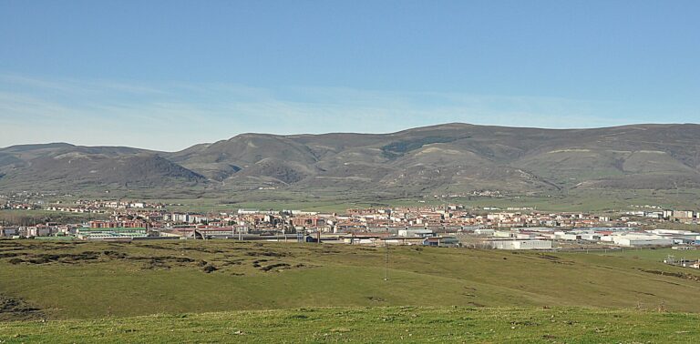
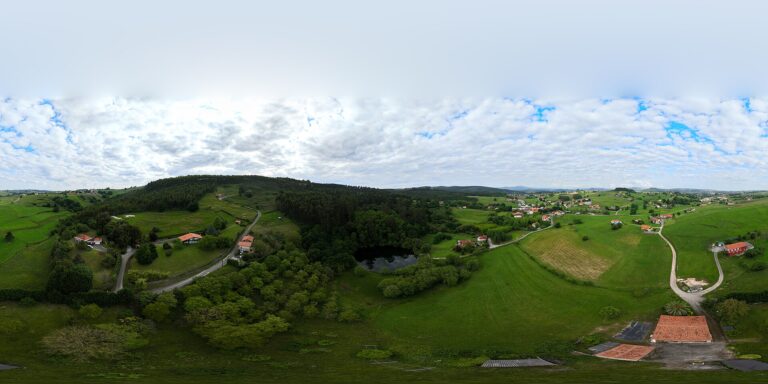
A photograph of the river or trail with a reusable licence and verified location is still to be found. Images of canyons in other municipalities are not used, nor is a generic photograph of Peña Prieta presented as the river.
Sources
- Government of Cantabria, General Hydrographic Network, layer 294: Castrejón River name and regional geometry of 3,907.8 m; the geometry alone does not confirm its confluence.
- Government of Cantabria, Vega de Liébana General Water Supply and Sanitation Plan: Ledantes intake identifies the Castrejón River as its water source.
- Official State Gazette, authorisation for the Ledantes hydroelectric scheme (1950): names the Castrejón River and the La Viña and Pico de Cohora streams separately, without describing their confluences.
- Cantabrian Rural Development Network, restoration of the Castrejón River trail: reports in October 2026 on the restored route between Ledantes and the Riofrío passes.
- Pyrenaica, San Glorio–Riofrío passes–Cucayo traverse: topographic context for the Cubil del Can valley and its headwaters; this is a mountain route description, not an official hydrographic map.
- Mariano Caso’s canyoning blog, Castrejón River canyon descent: a local technical source for the headwater valley, approximate altitude and elevation change; it is used cautiously and not as current safety information.