The Trespalacios River: source, course and places by the water
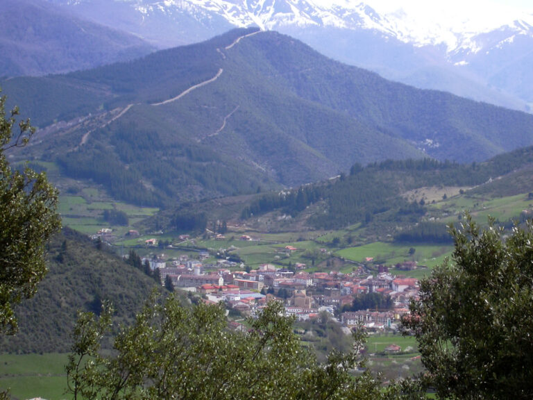
The Trespalacios River, also called the Trespalacios stream in municipal and mapping records, is a mountain watercourse in Camaleño, within the Deva basin. It rises around Cumbre Abenas, opens the valley where Pembes lies and continues towards the Deva valley. In its lower reach it passes through the area around Enterría and joins the Deva on its left bank, in the section between Areños–Cosgaya and Camaleño. Cantabria’s hydrographic mapping represents about 4.27 km for the feature named Río de Trespalacios; this is a geometric map length, not a field hydrological measurement.
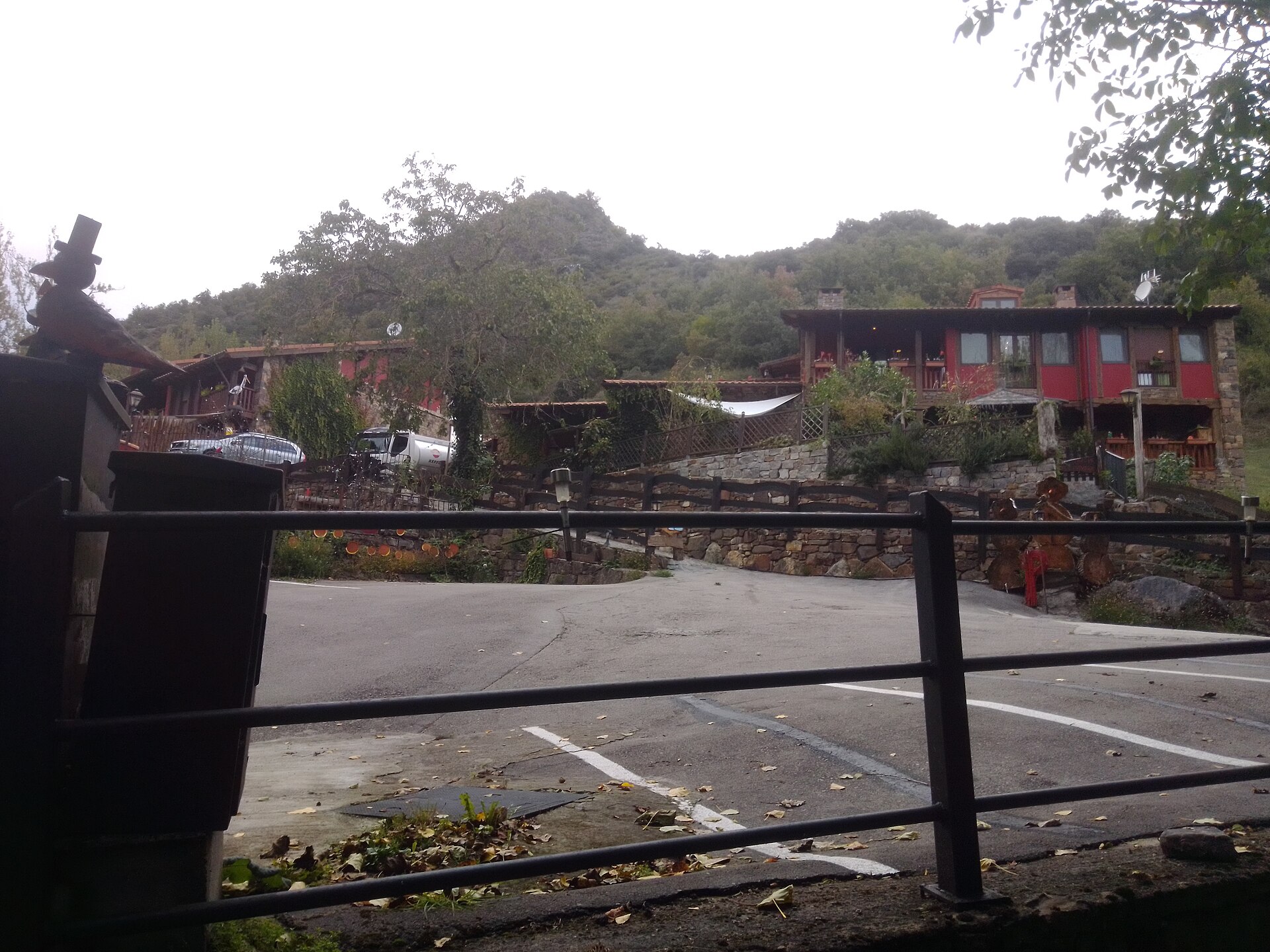
Contextual photograph of Enterría, not of the river channel: MiguelAlanCS, CC BY-SA 4.0. Image source and licence.
Source and course
The environmental report for Camaleño’s General Urban Development Plan (PGOU) places the headwaters at Cumbre Abenas. From these slopes, the stream descends through a mountain valley and shapes the landscape around Pembes. The source identifies the headwater area at a territorial scale, but does not name a spring or give precise coordinates. Cumbre Abenas is therefore the best-documented reference for the headwaters; this guide does not assign the river a specific spring that the sources do not identify.
After leaving the surroundings of Pembes, the Trespalacios continues towards Enterría and the valley floor. It eventually joins the Deva on the left bank. The municipal document places the confluence along the Deva between Areños–Cosgaya and Camaleño, but gives no coordinates. Regional mapping confirms the continuity of the named channel, while the Cantabrian Hydrographic Confederation includes it in technical flood-hazard mapping for Camaleño. This confirms that the watercourse is relevant to water planning, but flood calculations should not be mistaken for ordinary flow or access advice.
The 4.27 km figure comes from the geometry in the regional mapping layer. It may not include every headwater hollow and is not necessarily the length followed by water in every event. It is therefore not presented as an official hydrological length.
Tributaries and inflows
There is no reliable inventory of named tributaries that can be listed with confidence. Flood-risk mapping also represents an unnamed stream, but the available documents do not establish whether it flows directly into the Trespalacios or where a confluence might be. It remains an unassigned watercourse and is not included in the tributary list.
The main receiving river is the Deva, into which the Trespalacios flows from the left. The Deva River guide ES describes the main system and its other confirmed tributaries.
What to see by the river
Pembes and the headwater valley
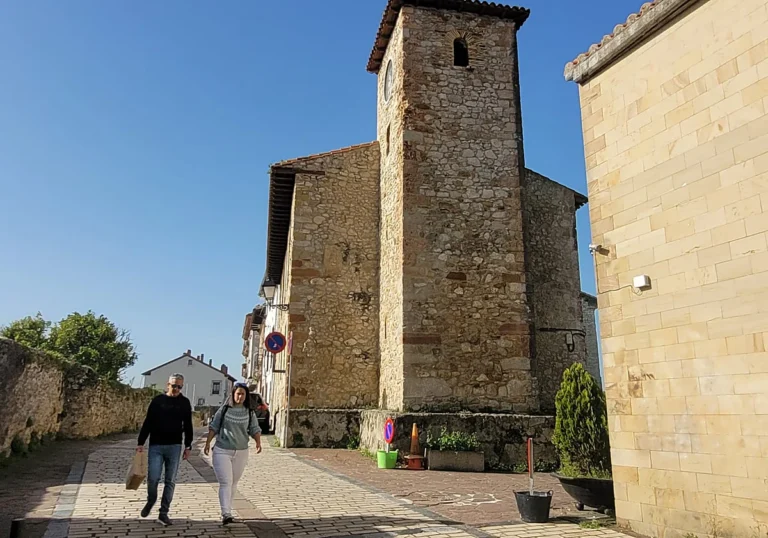
Pembes sits in the valley shaped by the river. It is the village most closely linked to the upper course and a good place to understand how the watercourse relates to meadows and Camaleño’s slopes. The village retains the church of San Vicente and rural architecture; its locality guide offers more information. There is no confirmed developed riverside walk following the whole headwater area from Pembes.
In some seasons, Picos de Europa National Park runs a guided walk to Peña Oviedo, starting at the entrance to Pembes. The 2026 programme lists it on Wednesdays, lasting four and a half hours, with about 400 metres of elevation gain and a medium difficulty rating. This is a mountain outing, not a riverside route. Booking is required and weather may cancel the activity; check the current official calendar before travelling.
Enterría and the lower reach
Enterría is the clearest reference point for reaching the lower course. In November 2014, public information was published about an application to build three footbridges and a safety fence and to legalise three viewpoints on streams in the Trespalacios area. The notice confirms that riverside works were processed; by itself, it does not prove that every structure was built, remains in good condition or is currently open to visitors.
A route shared by a Wikiloc user in April 2025 describes an out-and-back walk of about 1.37 km beside the river, with approximately 52 m of elevation gain. It is a recent reference for locating a possible walk, but it is not an official route and does not guarantee a public right of way, signage or safety. Before following it, check the route on the ground and use public, open paths only; do not cross fields or fences. The route description itself notes that the path can narrow or rise above the water.
Confluence with the Deva
The confluence with the Deva is part of the valley-floor landscape. The sources consulted do not identify an official viewpoint or a developed access point exactly at the mouth. The river network can be observed from public paths and places nearby when visibility and access allow; there is no need to descend to the channel to understand how the Trespalacios joins the main river.
Visiting advice
The Trespalacios is a mountain river that can rise quickly and runs beside rural land. The Hydrographic Confederation’s flood study confirms that flood scenarios have been modelled for the channel, but those figures refer to models and return periods, not typical flow. Keep away from the bank during heavy rain, snowmelt or weather warnings; do not ford the river and do not use footbridges or viewpoints whose stability and opening have not been confirmed. For high routes towards Peña Oviedo, follow National Park guidance and carry suitable equipment.
Sources
- Camaleño Town Council, Preliminary Environmental Sustainability Report for the PGOU, PDF p. 17: headwaters at Cumbre Abenas, Pembes valley and left-bank confluence with the Deva between Areños–Cosgaya and Camaleño.
- Government of Cantabria, General Hydrographic Network, layer 294: feature name “Río de Trespalacios” and 4,266 m mapped geometry. The layer alone does not identify a specific spring or tributaries.
- Cantabrian Hydrographic Confederation, flood-zone delineation summaries: Trespalacios channel in Camaleño and flood calculations; these are not ordinary flows or a real-time safety report.
- Cantabria Official Gazette, public notice of 28 November 2014 on the application for footbridges, a fence and viewpoints in Enterría, file A/39/09444. The index reproduces the public notice; it does not by itself prove completion or the current condition of the installations.
- National Parks Autonomous Agency, guided and interpretive walks in Cantabria: 2026 programme for the Peña Oviedo walk from Pembes, including duration, elevation gain and difficulty; check availability and booking before visiting.
- Wikiloc, Enterría: walk by the Trespalacios River: a user-recorded route from April 2025 (1.37 km return; 52 m elevation gain). It is not an official route and does not certify current access.
- MiguelAlanCS, view of Enterría, CC BY-SA 4.0: inspected contextual image of the village, not the river. Original at
content/camaleno/photos/enterria.jpg; unchanged copy atresearch/photos/rio-trespalacios-contexto-enterria.jpg.
Editorial status: research draft. The general headwater area, valley locality and confluence with the Deva are documented. No precise spring or named tributaries have been confirmed. A licensed contextual photograph is available, but an open-licensed image directly showing the channel is still missing. The existence and current condition of Enterría’s footbridges and viewpoints need local confirmation. The slug rio-trespalacios is provisional until checked against a historical WordPress sitemap.