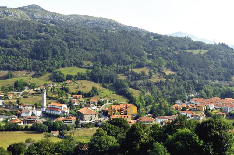
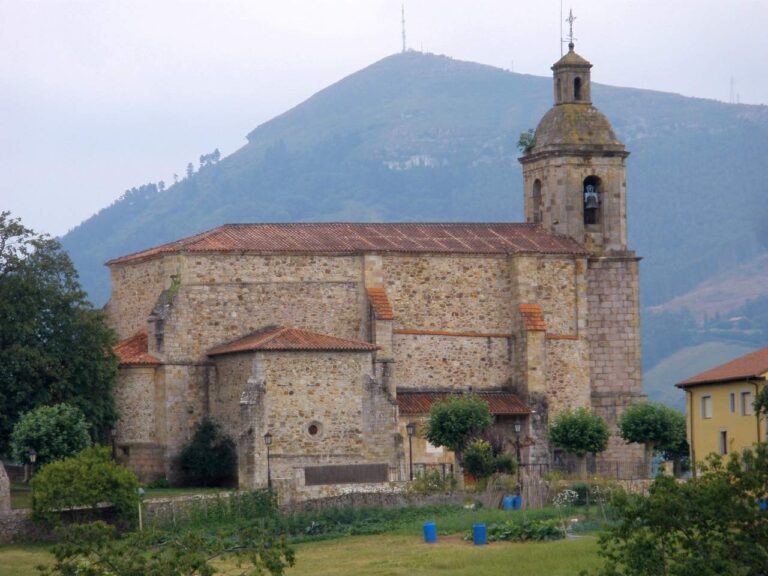
The Camesa–Pisuerga–Duero Basin
The Camesa is the Cantabrian river whose waters flow towards the Atlantic. It rises at Fuente de Honcamesa, in Palencia, crosses Valdeolea for about 18 km and returns to Palencia, where it joins the Pisuerga. The Pisuerga then continues through the Duero to the Atlantic.
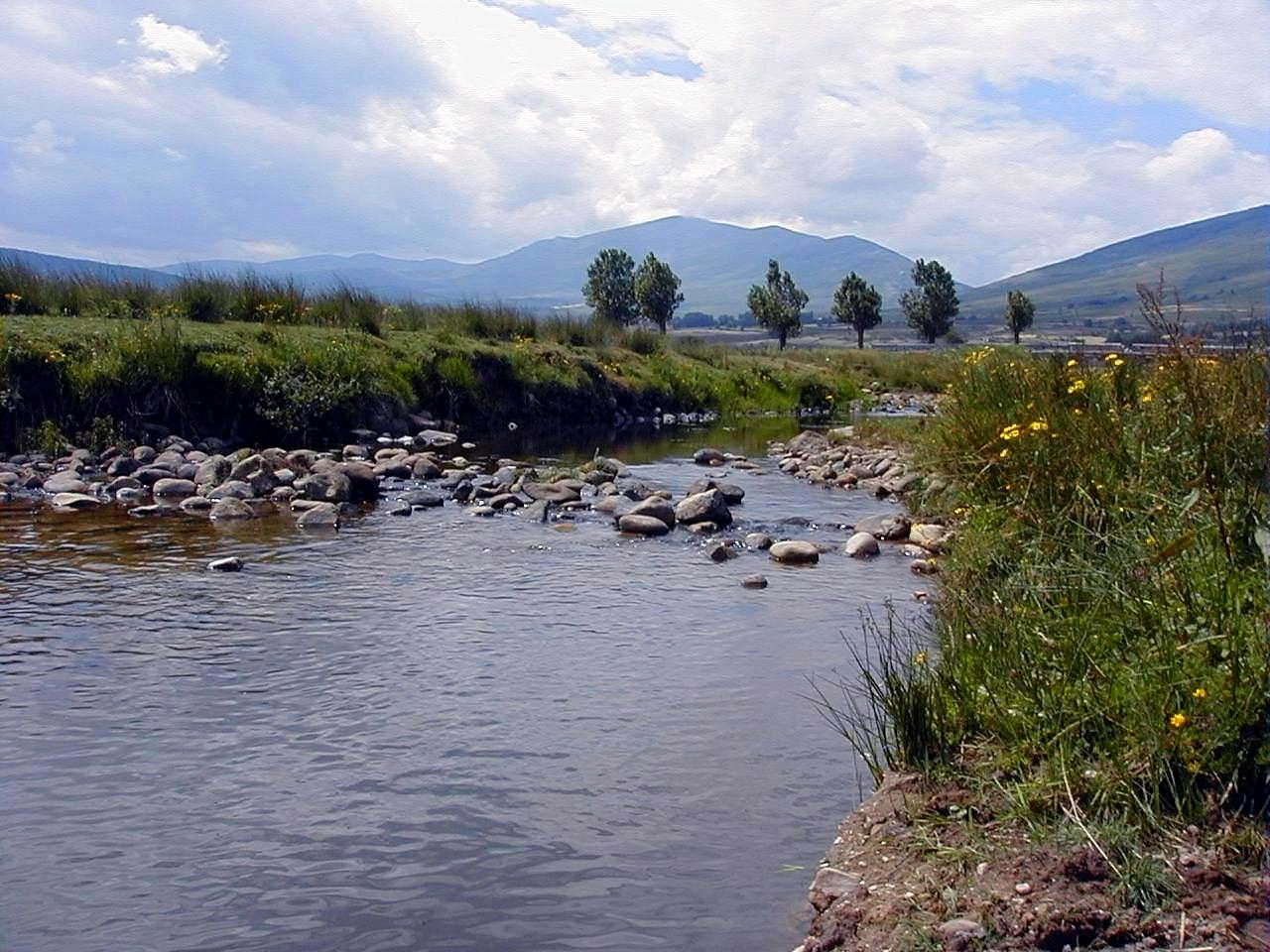
The Camesa at Santa Olalla, Valdeolea. Photograph by serdio, licensed under CC BY-SA 3.0. Wikimedia Commons file.
Main river and tributaries
- Camesa River: rises in Palencia, crosses Valdeolea and joins the Pisuerga.
- Valberzoso River: a tributary of the Camesa flowing down from the Valberzoso area, crossing from Palencia into Cantabria and joining the Camesa near Cuena. The Duero Hydrographic Confederation maps it from its headwaters to the confluence and suggests its headwaters may have been cut off by a possible river capture. Published lengths vary (5.7–8 km), so no single figure is presented as definitive. No named secondary tributaries have been confirmed.
- Arenosa, Henares, Quintanillas and La Puente: streams that join the Camesa in Cantabria; their sources and courses need individual documentation.
- Moedo and Arroyada: watercourses included in the Camesa River Site of Community Importance (SCI); their relationship to the river and exact confluence points require detailed map comparison.
Places of interest along the river
- Mata de Hoz and the upper river, with a historic circular route whose current condition should be checked before setting out.
- Reinosilla and the area around the Roman bridge.
- Santa Olalla and the mill beside the Camesa ES.
- Casasola Bridge over the Camesa ES.
- Mataporquera, where riverbank restoration projects have been documented.
Editorial status: the Camesa guide and individual guides for the rivers in the inventory have been written and linked. Smaller streams are mentioned where documentation exists, without claiming a tributary relationship or exact source where the evidence does not support it. Check locally that routes and access points remain available before visiting.