The Burón River: Arredondas Gully and the Lon Valley
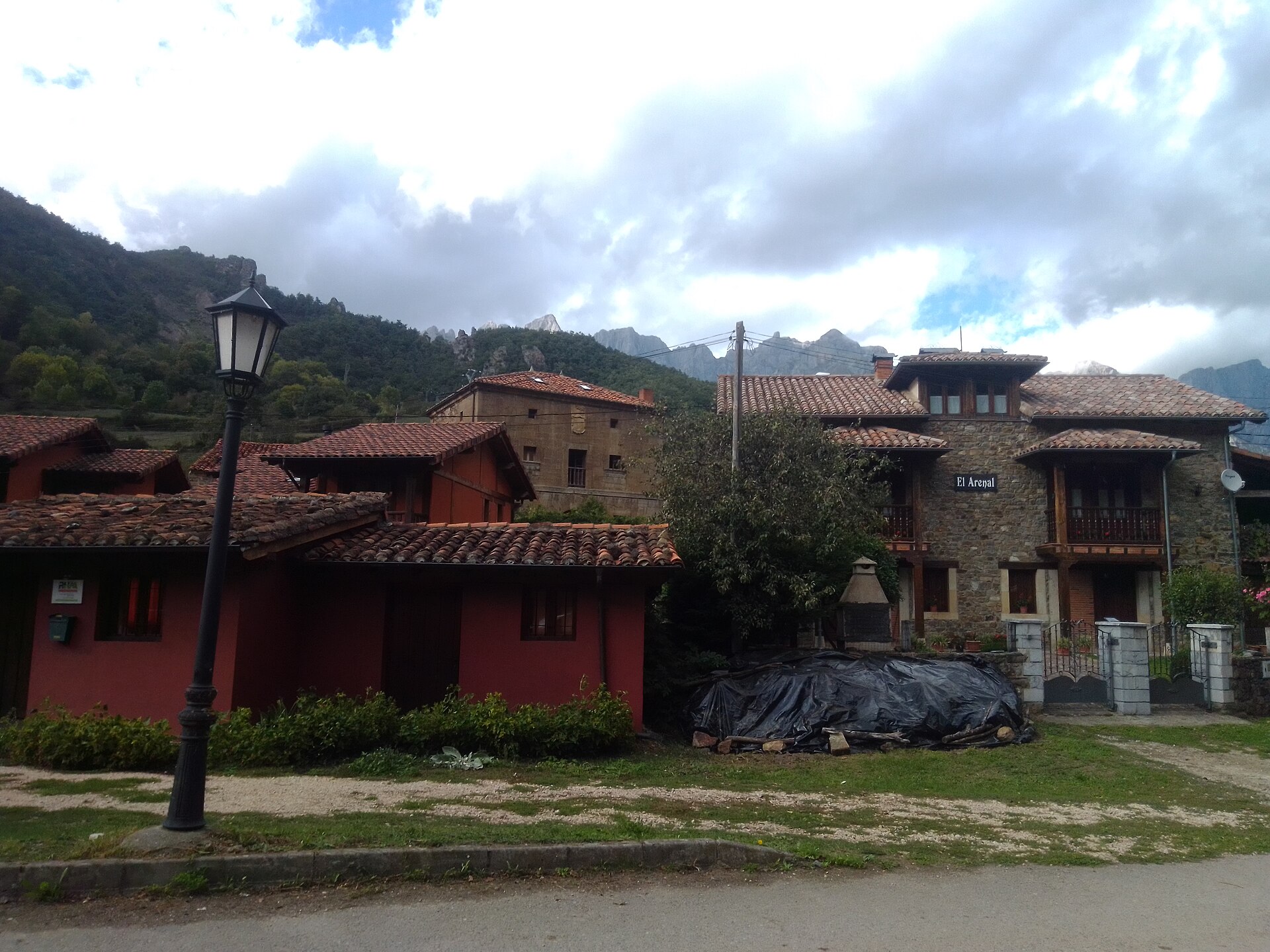
Contextual view of the Camaleño valley at Los Llanos; it does not show the Burón channel. Photograph by MiguelAlanCS, 24 September 2020, licensed under CC BY-SA 4.0. Image record, authorship and licence on Wikimedia Commons. A local copy was downloaded and inspected; this is a contextual image and does not show the channel.
The Burón River is a mountain watercourse in Camaleño, in Liébana. It rises in the Eastern Massif of the Picos de Europa, descends through the valley where Lon lies and flows into the Deva at San Pelayo. Its headwaters consist of gullies and streams collecting water from limestone slopes, which is why descriptions refer to an amphitheatre of channels rather than one specific spring.
Source and course
The law establishing Picos de Europa National Park places the Burón’s source at the meeting of the Río de las Blancas and the Arredondas Gully. Camaleño’s preliminary environmental report for its General Urban Development Plan describes the headwater amphitheatre, with the main Arredondas Gully and the side gullies of Truénganos and Malluengu, below the ridgeline running from Sagrado Corazón to Morra de Lechugales.
From this headwater area, the water gathers in a steep valley and descends towards Lon. The Burón runs along the edge of the village and continues down the valley until it joins the Deva near San Pelayo. The municipal document establishes these general landmarks but gives neither a hydrological length nor details of every channel section; no figure inferred from mapped geometry is assigned here.
Tributaries and headwater streams
The sources consulted do not provide a complete list of named tributaries. The Arredondas Gully and the side gullies of Truénganos and Malluengu form the headwater amphitheatre, but are not presented here as independent tributary rivers. Legislation also identifies the contribution of the Río de las Blancas to the formation of the Burón’s headwaters. The connections and flow directions of smaller streams still require detailed map review.
What to see by the river
- Lon. Set in the Burón valley, the village is the most direct place to experience its lower course. A path climbs from the upper part of the village parallel to the river towards the huts and former mining buildings at Arredondas. A local account documents the route, but does not confirm its current condition, waymarking or safety. Check conditions and restrictions before setting out.
- Arredondas Gully from Brez. Picos de Europa National Park includes the waymarked PR-PNPE 27, Brez–Arredondas Gully route, which approaches the landscape of the gully. It should not be mistaken for a complete riverside route or access all the way to the Burón headwaters. Check current Park information and the weather.
- San Pelayo and the Deva valley. The Burón joins the main river in this area. Municipal documentation places the confluence near San Pelayo but does not describe a developed riverside walk or a prepared access point at the junction.
- High-mountain landscape. The gully and the peaks of Morra de Lechugales form a rugged headwater area in the Eastern Massif. Going up to the higher elevations is a mountain activity involving steep gradients and exposed terrain; it should not be treated as an easy walk or taken off authorised routes.
The existence of routes in the area does not guarantee that every path beside the river is public, passable or maintained. Respect closures and private land, follow official signs and confirm current access conditions with Picos de Europa National Park or Camaleño Town Council.
Sources consulted
- Spain’s Official State Gazette, Law 16/1995 establishing Picos de Europa National Park: identifies the source at the confluence of Las Blancas and the Arredondas Gully.
- Camaleño Town Council, Preliminary Environmental Sustainability Report for the General Urban Development Plan: describes the headwater gullies, the passage through Lon and the river’s entry into the Deva near San Pelayo.
- Picos de Europa National Park, official leaflet and trail map: lists the PR-PNPE 27 Brez–Arredondas Gully route. Check its current status before visiting.
- Liébana and Picos de Europa guide, routes around Camaleño: describes the path from Lon that climbs beside the river towards the huts and remains of the Arredondas mines. This is a secondary source and does not confirm current conditions.
- Wikimedia Commons, visit to Los Llanos, Camaleño, MiguelAlanCS, 24 September 2020, CC BY-SA 4.0. Contextual photograph; local copy downloaded and inspected.