
Santoña: municipality, town and protected landscape
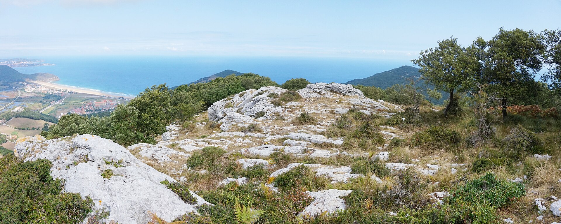
The municipality lies on Cantabria’s eastern coast, below Mount Buciero and beside the Asón estuary. Its landscape combines a harbour town, open coast, limestone slopes and wetlands. The marshes form part of the Santoña, Victoria and Joyel Natural Park, which is shared with other municipalities; this guide therefore does not attribute the whole park to Santoña.
Spain’s National Statistics Institute lists Santoña, El Dueso and Piedrahita as population entities. The settlements guide follows that statistical division and does not present neighbourhoods as separate villages. Santoña is the town and municipal capital. El Dueso is associated with the Berria area and the routes around Mount Buciero. Piedrahita has a documented local celebration: the official calendar listed its Fiestas de la Soledad on 19 and 20 September 2026. Those dates refer to a past edition, not a permanent annual schedule; the town council should confirm the next programme.
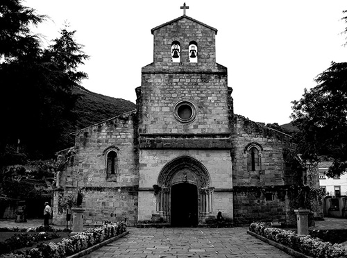
The Church of Santa María del Puerto has a long religious history and a medieval building with later alterations. The urban heritage also includes the House-Palace of the Marquesses of Chiloeches —also known as the former Military Hospital—, Manzanedo Palace, the Institute, the Casino Liceo Theatre, the bullring and the monument to Juan de la Cosa. The defensive system is best understood as a whole: forts, batteries, paths and landscape form a connected historic network, although each installation has its own chronology and condition.
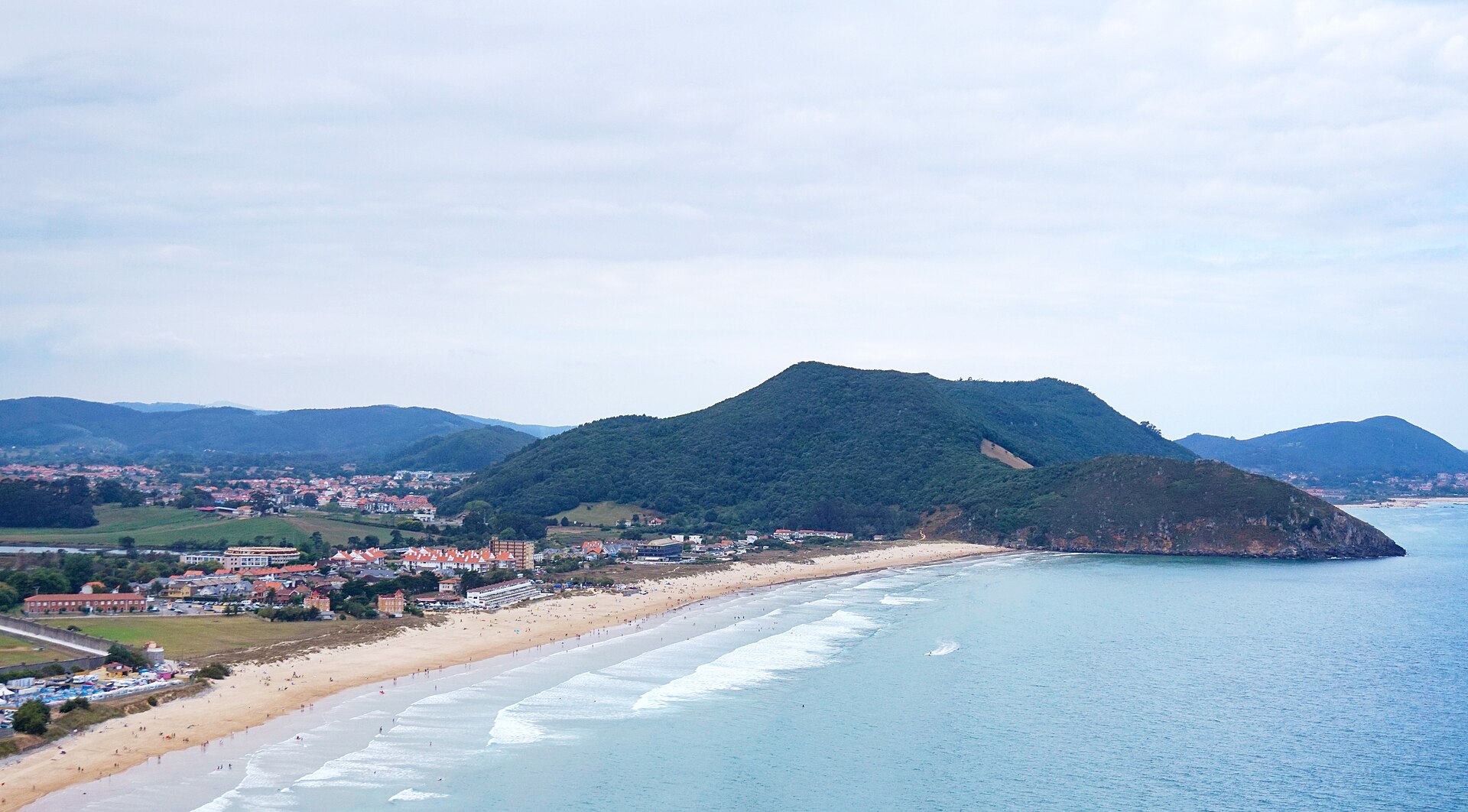
Berria is an exposed Atlantic beach between Mount Buciero and Mount Brusco; San Martín beach runs beside the town centre and bay. Faro del Caballo lighthouse, mountain paths and some coastal routes require visitors to check safety notices. In 2026 the town council announced the temporary closure of the lighthouse steps: do not plan the descent while that notice remains in force. Opening times, festivities, cultural access and beach services vary; confirm each detail with the responsible organisation before travelling.
- Settlements in the municipality of Santoña ES
- Things to see in Santoña ES
- Things to do in Santoña ES
- Nature in Santoña ES
- History and heritage of Santoña ES
- Food in Santoña ES
- Accommodation in Santoña ES
- Plan your visit to Santoña ES
Places on a municipality-wide scale
The marshes and the network of trails on Mount Buciero connect places that do not belong to a single settlement and may cross municipal boundaries. They are included here as resources for exploring the wider area.
Sources: View source ↗, View source ↗, View source ↗, View source ↗, View source ↗ and View source ↗.
Sources: View source ↗, View source ↗, View source ↗, View source ↗ and View source ↗.