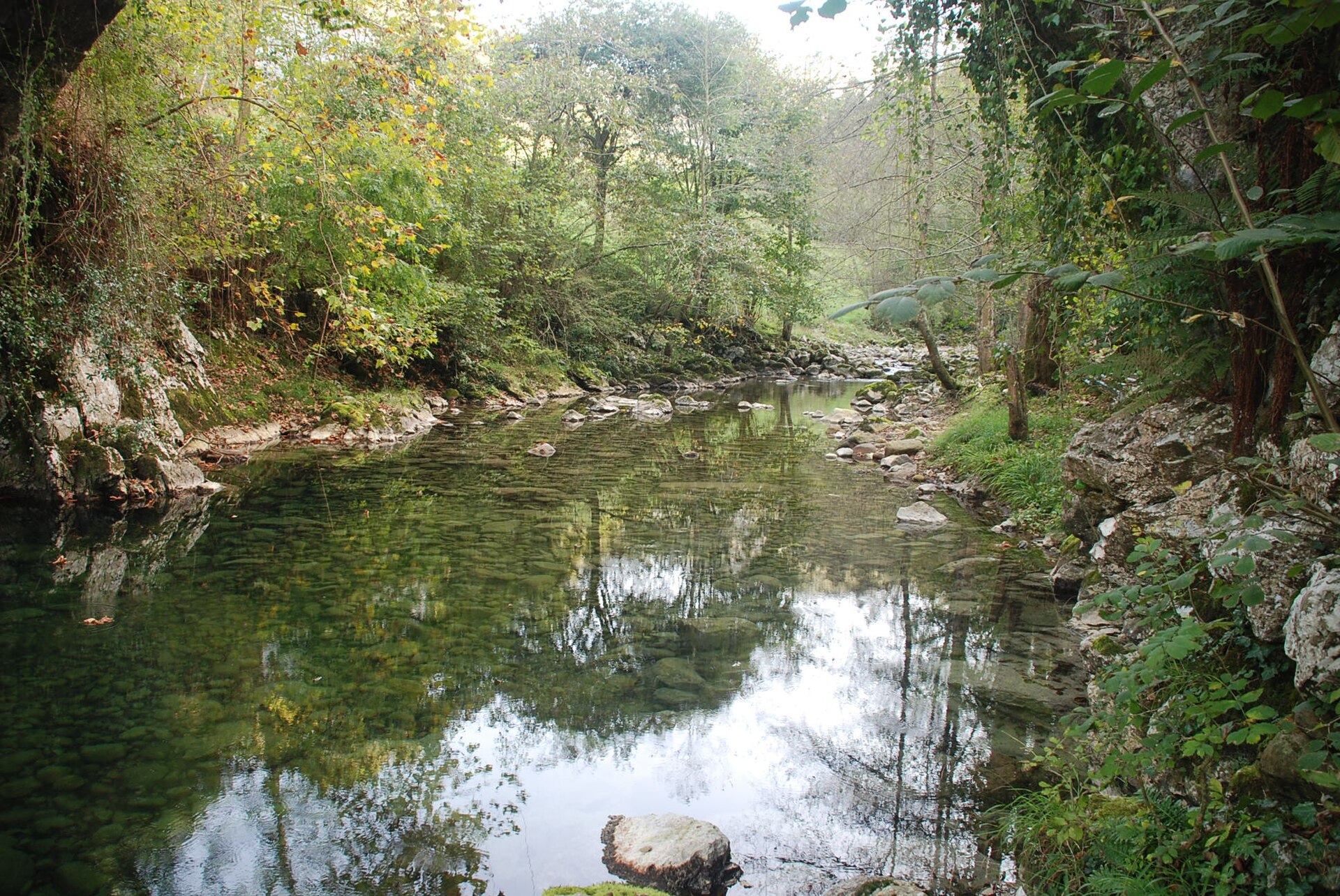
The Miera’s riverside woodland accompanies the path at La Vega.
Key information
| Place | La Vega |
|---|---|
| Municipality | Miera |
| Type | River landscape |
| Access | From public spaces and paths |
River and landscape
Miera Town Council highlights the river vegetation, former paths and small river structures along this stretch. The river corridor helps explain how water, crossings and tracks shaped movement between settlements in the valley.
The riverside is a place to observe the flow of the Miera and the vegetation that follows its banks. Its character changes with the season and water level; it should be understood as part of a living river environment, not as a developed bathing area.
Plan a visit
Stay on public paths, keep away from unstable or slippery banks, and do not enter the river during high water. Take care after rain and preserve the riverside plants. The municipal walk continues between the bridge at La Vega and the bridge at Mirones; check its current condition before setting out.
Explore La Vega
This riverside stretch belongs to the La Vega guide. The bridge and the nearby settlement provide context for the walk.
Return to La Vega or explore the wider municipality of Miera.
Source: View source ↗.