Discover Irías
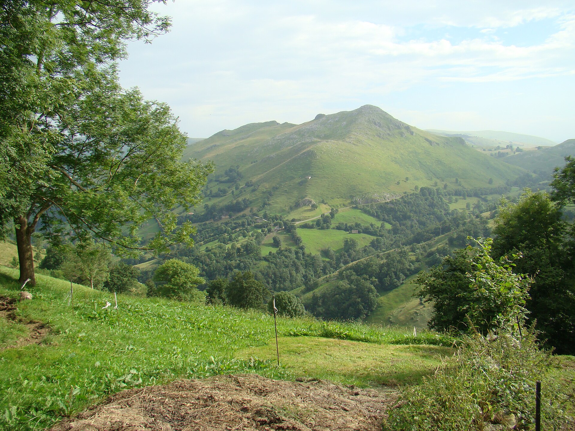
Irías lies on the municipal mountain itinerary that returns towards La Cantolla after crossing the Las Enguinzas massif. Its appeal is the hillside landscape and the network of paths between hamlets rather than a single monument. The surroundings mark a transition between meadows and limestone terrain.
The photograph shows the wider municipality, not a verified view of Irías itself. Paths across the limestone pavement are demanding, and fog can make navigation difficult.
Photograph: Nicolás Pérez · CC BY-SA 4.0.
Places and routes
View source ↗ View source ↗.