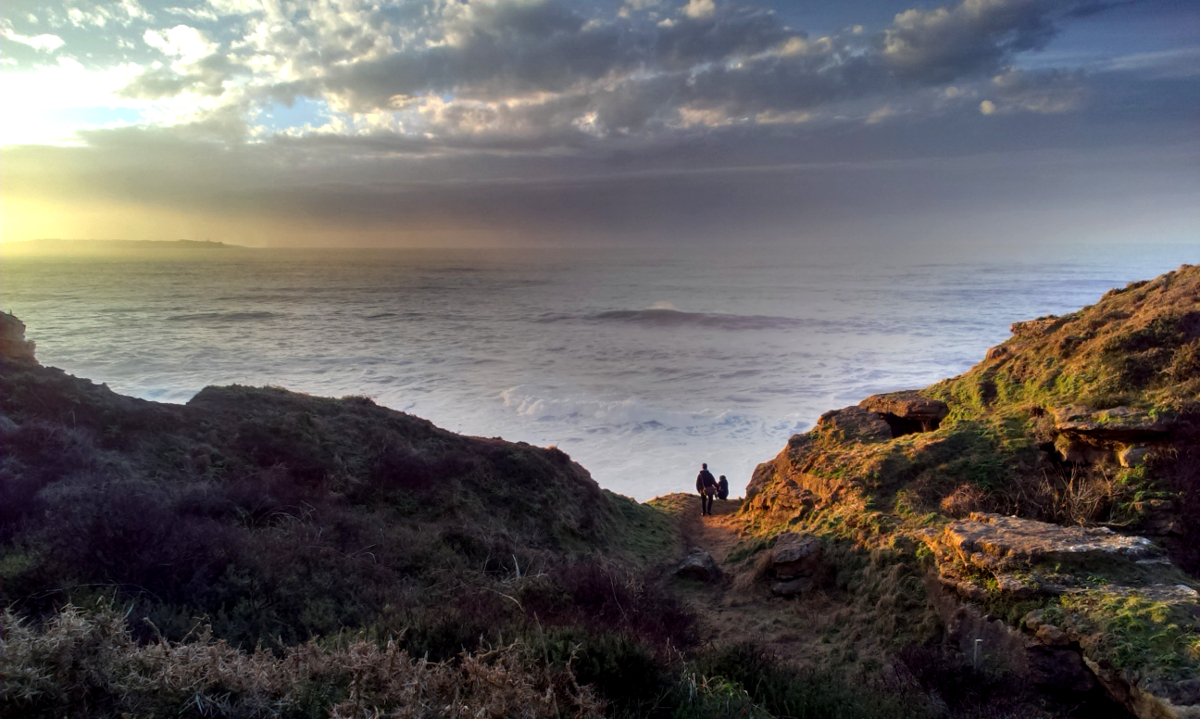
A coastal circuit links the beach, cliffs and San Pantaleón Hermitage.
Essential information
| Place | Galizano |
|---|---|
| Municipality | Ribamontán al Mar |
| Type | Coastal route |
| Distance | 6.1 km |
| Approximate time | 1 hour 30 minutes |
| Difficulty | Moderate |
| Route | Out-and-back circuit |
History and route details
The municipal route guide describes a 6.1 km out-and-back route, taking about 1 hour 30 minutes and rated moderate. It starts at the information point on the road to Galizano Beach.
The path leads through the Cucabrera area and on to the hermitage; the return is via Alto del Castillo.
Plan your visit
Download the official route map and details (in Spanish) ↗ before setting out. Keep away from the cliff edge and check the trail conditions.
Route and safety
Check the route, ground conditions and weather before you leave. The Google map is indicative; it does not replace current route mapping or the official guide.
What else to see in Galizano
This page is part of the Galizano guide, where you can find the other places, routes and celebrations connected with the village.
- Church of Our Lady of the Assumption (in Spanish)
- San Pantaleón Hermitage
- La Canal Beach
- Arenillas Beach
Return to the Galizano village guide or the Ribamontán al Mar municipal guide.